Custom Image
Ability to use a custom image (.png, .jpg or .svg) as a map background, and use simple XY coordinates within the image to overlay data-bound items.
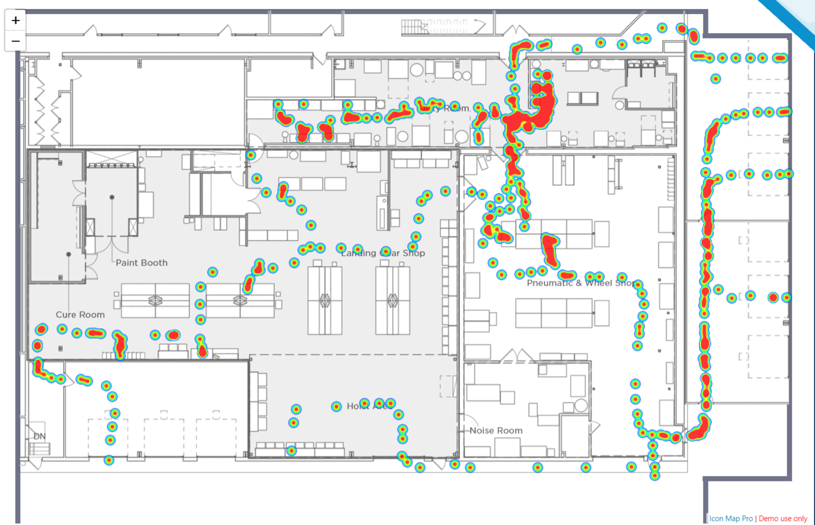
The image is then drawn as the map background as a single image - not tiled. Rather than using longitude and latitude coordinates, instead you plot items over the image using XY coordinates, where 0,0 is the bottom left of the image, increasing by the image's width and height until the top right corner.
Many of the data layers you can use on a geographic map can be used with background images, including:
- Circles
- Heatmaps
- WKT / GeoJSON from data
- GeoJSON files
- Images
- Lines
Some items such as H3 cells, Vector Tiles and ArcGIS feature layers are not supported and will be disabled.
The zoom levels of the map work differently with background images, and you may find your minimum zoom level is a negative number.
Background images can be a URL (including data URLs, and specified using conditional formatting), or a file uploaded into the report.
Please note that WebGL Rendering mode is not supported for custom background images.