Hill Shading
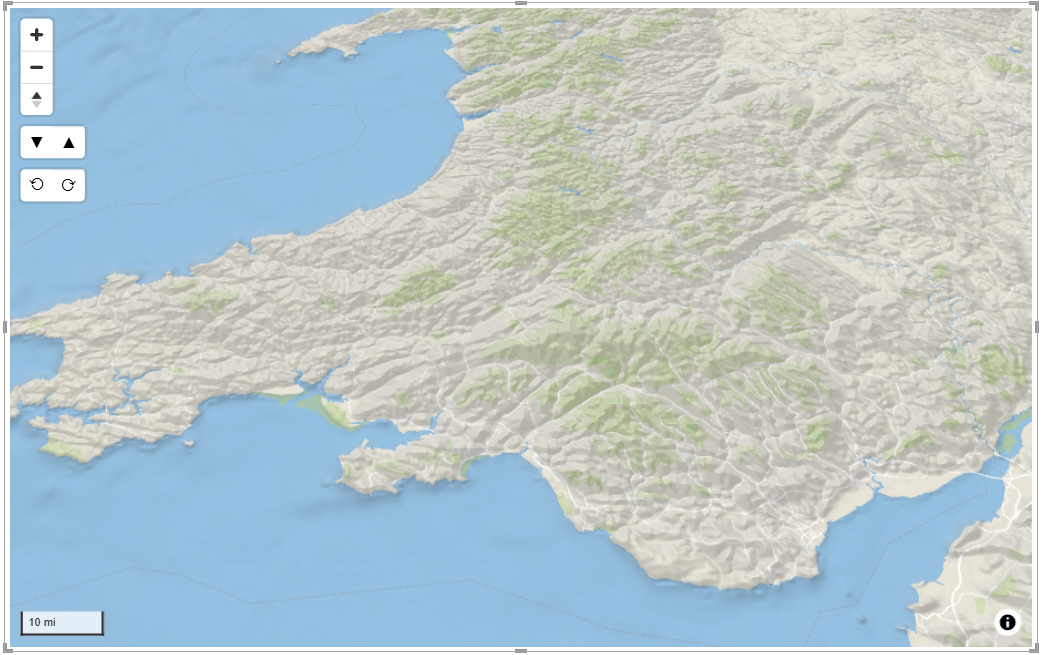
Hill shading adds an additional layer over the background map representing the shadow and highlights of the terrain.
Two different hill shading terrain models are provided with different resolution. In addition you can provide your own height model as a Raster DEM layer.
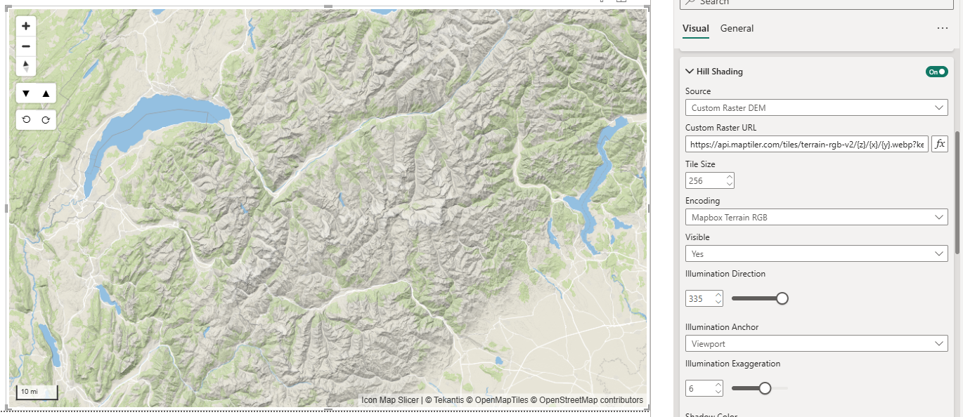
Two encoding types are supported for custom raster DEM layers, Mapbox Terrain RGB and Mapzen Terrranium depending on the source format of your data.
Customizing the appearance
It is possible to customize how the hill shading is drawn
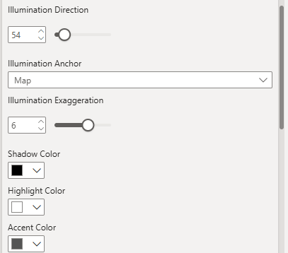
Direction
Controls the direction of the light source used to generate hillshading. It's measured in degrees, with 0 degrees representing north and increasing clockwise.
Illumination Anchor
Determines whether the illumination (shadows) for the hillshade effect is relative to the map's north direction or the viewport's top. When set to map, the hillshade is fixed to north, meaning the shadows will rotate with the map when the map is rotated. When set to viewport, the hillshade is fixed to the viewport, meaning the shadows will stay fixed in place even when the map is rotated.
Exaggeration
Determines how defined the hillshade effect is.
Colors
You can define specific colors for the shadows, highlights and accents.
Min and Max Zoom
Specify specific zooms levels at which to render the hill shading.
Z-Index
Determines the order in which the hill-shading is drawn in relation to other layers. For example you may wish to ensure your hill shading is rendered over a custom satellite overlay layer.